greatly simplifies the capture of large areas or exterior surfaces.
may be utilized for survey, inspection, and 3D AutoCAD or Revit model creation.
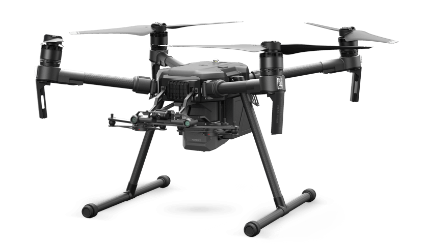
combines traditional LIDAR scanning with Aerial scanning to create pointcloud and model data
Noorda Tech’s hybrid scanning approach significantly shortens deadlines for model creation
Hybrid scanning enables a safer working environment by reducing the need to access roofs or elevated areas.
Above – hybrid reality capture point cloud
Right – Revit model created from hybrid solution
Hybrid scanning provides additional detail from hard to reach angles
Large areas can be captured in a short period of time
“Noorda Tech has continuously demonstrated a creativity and tenacity for implementing new technologies. [They] are very customer focused and always demonstrated a new twist in GIS, CAD and 3D laser scanning technology.”Leading Architectural Firm